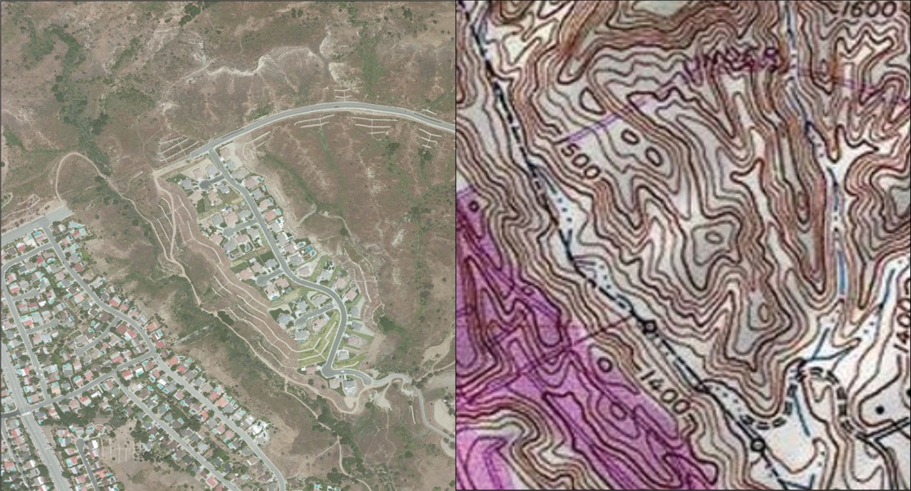
GIS is used for georeferencing historical imagery, surveying land, and creating highly accurate maps down to the centimeter. This precision is crucial for forensic and archaeological research, ensuring that areas are thoroughly documented and can be revisited for further investigation.
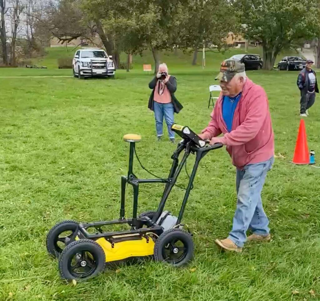
Ground-penetrating radar (GPR) is a non-invasive geophysical technique that uses electromagnetic waves to create detailed images of the subsurface. GPR is particularly effective in smaller, debris-free areas. However, GPR requires careful analysis to filter out signals from non-relevant features such as pipes, electrical lines, trees, and building foundations.
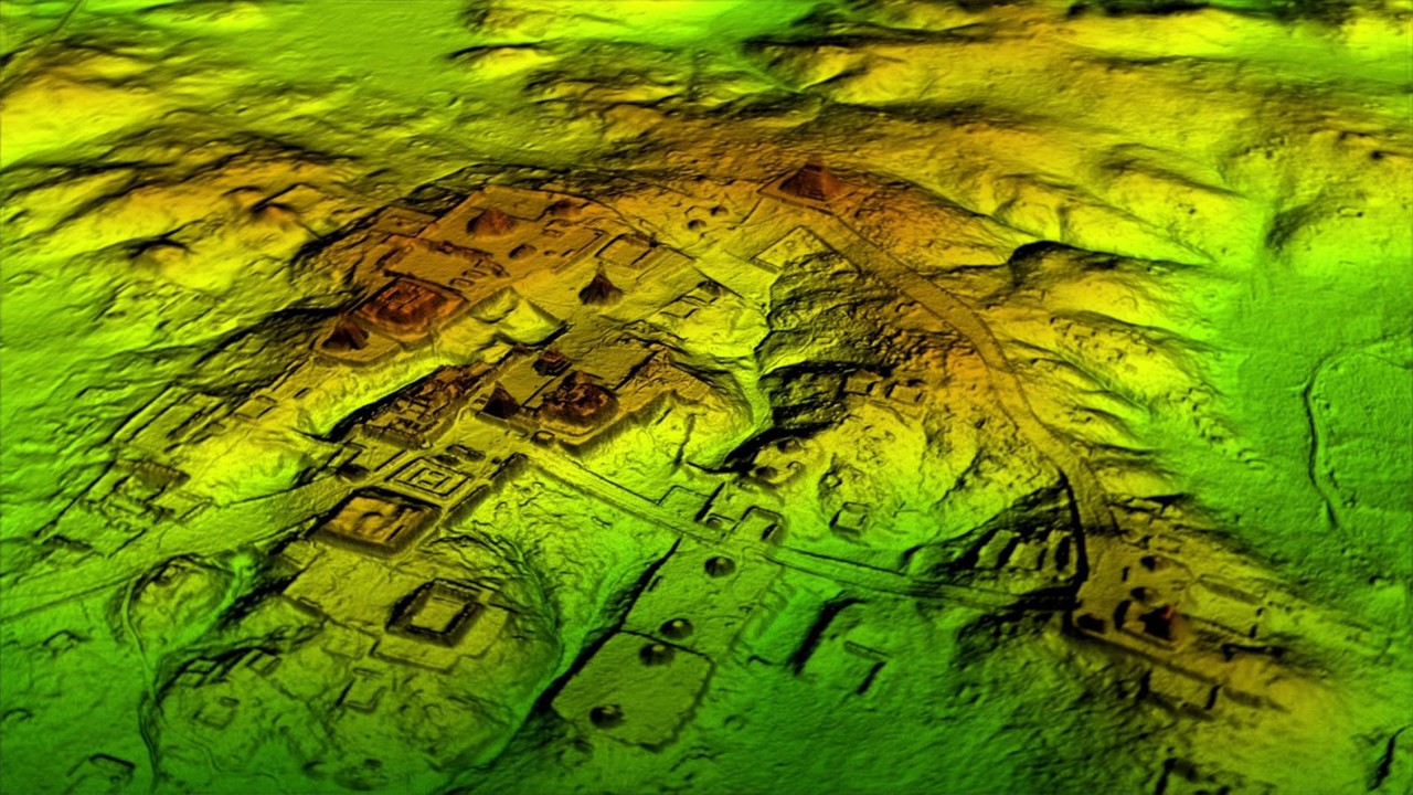
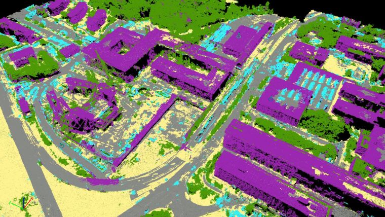
Creates detailed 3D models of the terrain, which helps in identifying disturbances in the ground, or unnatural changes in elevation, that may indicate the presence of unmarked graves or other archaeological features of significance.
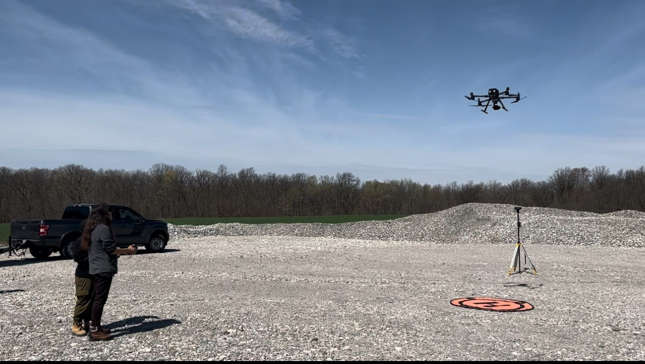
Drones are utilized for aerial surveying, providing a broader view of the land and assisting in identifying potential areas of interest for further investigation.
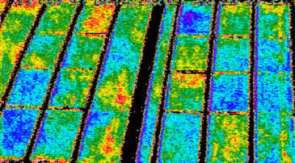
This technology is used to detect temperature variations in the ground, which can signal the presence of disturbances, such as human remains or burial sites, that differ from the surrounding soil.
This technique involves using photographs (both modern and historical) taken from various angles to create 3D maps of the terrain, aiding in the analysis and documentation of the search area.
Geographic Infromation System
Ground Penetrating Radar
LiDAR
Drone Imaging
Thermal Imagery
Photogrammetry